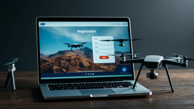
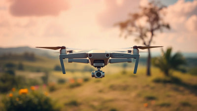
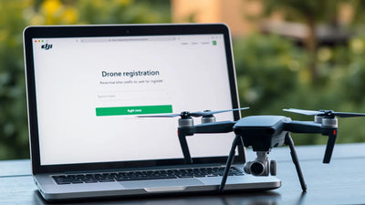
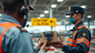
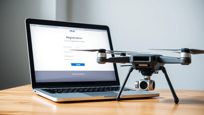
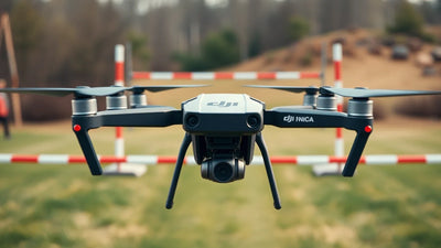
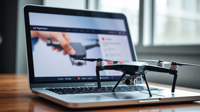
תמונת מפה, מדריך היסטורי לשטח מוגבל או רישום של מזל"ט חקלאי אינם קובעים מה חל על פרויקט חווה מסוים בבוקרשט-אילפוב. שמור את מנהל הקרקע, גבולות השדה, ההקשר של האנשים והרכוש, הפלט המיועד, ערכה מדויקת, מפעיל, תוכנית בטיחות וחלופת תצפית קרקע ביחד. שאלות לגבי גישה לאתר, מרחב אווירי, אנשים, ציוד ומשימות חקלאיות הן סקירות נוכחיות נפרדות.
מה צריך צוות חווה להקים לפני פרויקט מזל"ט בוקרשט-אילפוב?
שכבת החלטה
ראיות לשמירה
מה זה יכול לקבוע
מה היא לא יכולה לקבוע
אדמה ושדה
מנהל קרקע, גבולות שדה, שאלת יבול, גישה, הקשר אנשים ורכוש
מה החווה מציעה
שמפה לבדה קובעת את האתר בפועל
ערכה מדויקת
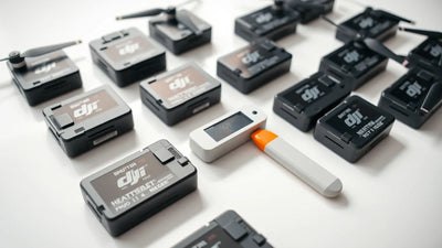
כלי טיס, בקר, סוללות, מצלמה או מטען, אביזרים וראיות מצב
איזה ציוד מוצע
שתווית חקלאית מוכיחה התאמה
מפעיל ובטיחות
מפעיל בשם, הפרדת אנשים, גבול לכידה, תנאי עצירה וחלופת תצפית קרקעית
אופן ניהול הפרויקט
תוצאה בטוחה או סקר מובטחת
סקירה נוכחית
עובדות שדה ופרויקט בפועל עם תגובה מתאימה עדכנית
מה צריך אישור
אישור קבוע, אגרה או סיכום תפעול
גבול החלטה
עובדות כתובות על אדמה, אנשים וציוד בהתאם לתגובות הנוכחיות
האם ניתן להתקדם בתכנון
כלל אוניברסלי של מזל"ט חקלאי
השתמש בשדה המדויק, לא במפה כללית, בתור רשומת ההחלטה
פרויקט חקלאי צריך להתחיל עם השדה ושאלת הניהול הדורשת התייחסות. שמור על גבולות שדה, אנשים, ציוד מדויק ותנאי עצירה גלויים בזמן שהמידע הנוכחי נבדק. תצפית קרקע נותרת חלופה שימושית כאשר ראיות אוויריות אינן שלמות.
כיצד על צוות להפוך את הסקירה לתוכנית פעולה?
פעולה
מה לשמור
שלב 1
כתוב את גבול השדה, שאלת החווה, התזמון והקשר האחראי.
שלב 2
רשום גישה לקרקע, אנשים, רכוש והקשר של יבול.
שלב 3
שמור את המטוס המדויק, הבקר, הסוללות, המטען וראיות המצב ביחד.
שלב 4
הגדר אופרטור, גבול לכידה, תנאי עצירה וחלופת תצפית קרקעית.