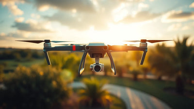
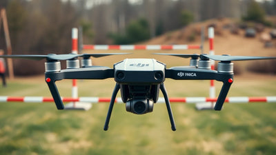
שם דגם, טענה RTK או מפה לדוגמה אינם מבססים את הדיוק או ההתאמה של פרויקט מגרש גולף עתידי. הגדר את התוצר, אזור הקורס, קריטריונים לקבלת הלקוח, מטוס ומטען מדויק, שיטת בקרת שטח, אחריות עיבוד וחלופת סקר קרקע. שמור את העובדות הללו גלויות לפני שתסתמך על שיטה אווירית מוצעת.
מה צריך צוות מיפוי גולף להקים לפני שהוא מציע מערכת Mavic 3 Enterprise?
שכבת החלטה
ראיות לשמירה
מה זה יכול לקבוע
מה היא לא יכולה לקבוע
פלט הפרויקט
מפה או דגם נדרשים, החלטה מיועדת, אזור הקורס, קריטריונים לקבלת הלקוח, תאריכים וחלופת קרקע
גישת בקרה, תצפיות, תכנית איסוף, שיטת עיבוד, סקירת איכות ומקצוען אחראי
כיצד תוערך התפוקה
דיוק מובטח או תוצאת סקר
הקשר של הקורס
שטח הקורס בפועל, גישה, אנשים ופעולות הקורס, קשר עם הלקוח, תזמון ותצפיות מבוססות
אילו עובדות באתר צריכות סקירה
דוגמה אחת של מפה מתאימה למסלול בפועל
גבול החלטה
תקציר הפרויקט, תיעוד מערכת, שיטה, תגובות נוכחיות ותוכנית סקר קרקע
מה הצוות העריך
יש להשתמש במיפוי אווירי או שיעמוד בתוצאה מוצהרת
מדוע אין להתייחס לתכונת מערכת כתוצאה של מיפוי גולף?
תכונה יכולה לתאר תצורה אחת מדויקת. איכות התפוקה תלויה ביעד הפרויקט, שיטת השטח, תצפיות, עיבוד, סקירת איכות, תנאי הקורס ומקצוען אחראי. רשומה של פרויקט ראשון מאפשרת לצוות להשוות ציוד עם שיטה אמיתית מבלי להפוך מפרט או תמונה לדוגמה להבטחת מדידה.
כיצד על צוות להפוך את הסקירה לתוכנית פעולה?
פעולה
מה לשמור
1. הגדר את הפלט הנדרש
רשום את המפה או הדגם, ההחלטה המיועדת, אזור הקורס, קריטריוני הלקוח, התאריכים וחלופת הקרקע.