Coastal documentation brief
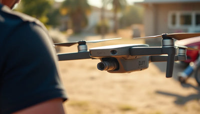
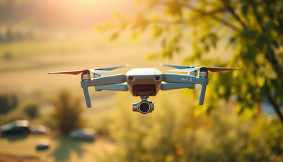
Aerial imagery can support a documented coastal observation. It should not be presented as a stand-alone survey, tide prediction or official environmental conclusion.
What is the project trying to document?


Why must visual documentation and measurement be separated?
Aerial imagery can make changing shore conditions easier to discuss, but the image itself does not settle a technical, legal or environmental conclusion. When an output will be relied on as a measurement or formal record, establish the appropriate collection method and review standard before the project begins.
How should a pre-owned aircraft be assessed for this work?
Start with the required evidence outcome rather than a product label. Retain the exact model, controller, batteries, included equipment and condition record; then determine whether the documented kit supports the project plan. Confirm the current local and site requirements separately.
Related Reboot Hub paths
Frequently asked questions
Can a drone image prove a tide level or survey measurement?
No. Drone imagery can provide a visual record, but it does not independently establish a survey result, legal boundary or scientific measurement. Use an appropriately qualified review where that level of conclusion matters.
What should a coastal documentation project define first?
Define the project question, the intended use of the imagery, site permission, people and property conditions, environmental conditions, the equipment record and who will review the output.
Why should image context be retained?
Retaining the site, date, viewpoint, weather context and equipment record helps a project team understand what the image can and cannot support later.
Can a buyer select a drone from a generic accuracy claim?
No. Match the exact project requirement to the documented model and equipment, then confirm the collection and review method with the responsible professional where measurement quality matters.
What local questions remain for the operator?
The responsible operator must separately confirm current local aviation, site, environmental and privacy requirements before conducting a coastal project.
Keep exploring
Further reading
From The Reboot Hub Chronicle










From Drone Guides